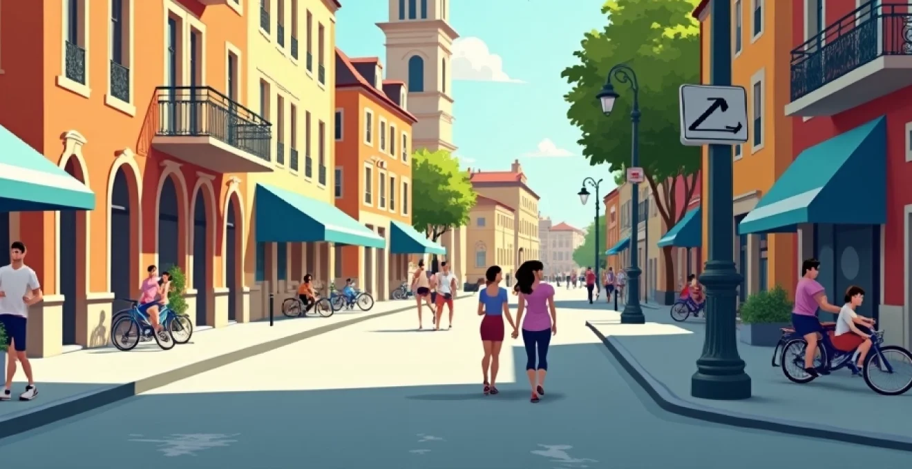
Discovering a new city on foot offers an unparalleled opportunity to immerse yourself in its culture, history, and hidden gems. While guided walking tours can be informative, exploring independently allows for a more personalised and flexible experience. With the right tools and techniques, you can curate your own walking tour that rivals any professional guide. This approach not only saves money but also empowers you to delve deeper into the aspects of a city that truly pique your interest.
Self-guided urban exploration techniques
Embarking on a self-guided tour requires a blend of preparation and spontaneity. Start by researching the city’s layout, key attractions, and historical significance. Create a rough itinerary that includes must-see locations while allowing for serendipitous discoveries. Consider using a physical map alongside digital tools to enhance your navigation skills and maintain a connection with the city’s geography.
One effective technique is to focus on specific themes or eras as you explore. For instance, you might trace the development of a city’s architecture from medieval times to the present day, or follow the footsteps of a famous historical figure. This thematic approach adds depth to your exploration and helps you connect seemingly disparate elements of the urban landscape.
Remember to pace yourself and build in time for rest stops. Many seasoned urban explorers swear by the ’50-10 rule’ – walk for 50 minutes, then take a 10-minute break to absorb your surroundings, consult your map, or simply people-watch. This rhythm helps prevent fatigue and ensures you’re not rushing through your experience.
Digital tools for independent city walking tours
In the digital age, a wealth of resources is available at your fingertips to enhance your self-guided city tours. From sophisticated mapping applications to interactive audio guides, these tools can transform your urban exploration into a rich, multimedia experience.
Gps-enabled mobile applications for route planning
GPS-enabled mobile apps have revolutionised the way we navigate cities. Apps like Google Maps and Citymapper not only provide turn-by-turn directions but also offer real-time public transport information, making it easy to combine walking with other modes of transport when necessary. For a more tailored experience, consider using specialised walking tour apps that offer pre-designed routes based on your interests.
Audio guide platforms: detour, VoiceMap, and guidebook
Audio guide platforms bring expert narration to your self-guided tours. Apps like Detour and VoiceMap offer location-aware audio tours narrated by local experts, historians, and even celebrities. These guides provide in-depth information about the sights you’re seeing, often including personal anecdotes and lesser-known facts that bring the city to life. Guidebook is another excellent option, offering downloadable content that can be accessed offline, perfect for international travellers looking to avoid roaming charges.
Augmented reality walking tour apps: citymapper and google lens
Augmented reality (AR) is transforming the way we interact with our surroundings. Apps like Google Lens allow you to point your smartphone camera at buildings, monuments, or even street signs to instantly receive information about what you’re seeing. This technology can reveal hidden stories behind everyday urban features, adding an extra layer of discovery to your walk.
QR Code-Based information systems in urban settings
Many cities are now implementing QR code systems at historical sites and points of interest. By scanning these codes with your smartphone, you can access detailed information, historical context, and even interactive content related to the location. This system allows for a self-paced exploration where you can dive as deep into the information as you’d like, without the constraints of a guided group tour.
Thematic walking routes: curating your own experience
Creating thematic walking routes allows you to tailor your exploration to your specific interests, ensuring a deeply engaging experience. By focusing on particular aspects of a city, you can uncover layers of history, culture, and contemporary life that might otherwise go unnoticed.
Architectural trails: from gothic to contemporary
Architecture enthusiasts can craft routes that showcase the evolution of a city’s built environment. Start with ancient structures, move through medieval and renaissance periods, and finish with modern and contemporary designs. This chronological approach not only highlights architectural styles but also tells the story of the city’s growth and changing priorities over time.
For example, in a city like Paris, you might begin at Notre-Dame Cathedral, exemplifying Gothic architecture, then move to the Renaissance-style Louvre, before ending at the Centre Pompidou, a beacon of modern design. Along the way, observe how architectural styles blend and clash, reflecting the city’s complex history.
Culinary walks: mapping local gastronomic hotspots
Food is an integral part of any culture, and a culinary walking tour can be a delightful way to experience a city. Research local specialities and plan a route that takes you through markets, street food stalls, and iconic eateries. In Barcelona, for instance, you might start at La Boqueria market, sample tapas in the Gothic Quarter, and end with a traditional paella in Barceloneta.
Remember to pace yourself and consider timing – some food establishments may only be open during specific hours. Also, be open to spontaneous discoveries; sometimes the most memorable culinary experiences happen when you stumble upon a hidden gem off the beaten path.
Historical timelines: chronological city exploration
Tracing a city’s history chronologically can provide a comprehensive understanding of its development. Start at the oldest part of the city and gradually move through time, observing how events and eras have shaped the urban landscape. In Rome, for example, you might begin at the ancient Forum, progress to medieval churches, Renaissance palaces, and finish with fascist-era architecture and modern developments.
This approach allows you to visualise the layering of history and understand how different periods have left their mark on the city. It’s also an excellent way to appreciate the resilience and adaptability of urban spaces over time.
Street art and urban culture circuits
For those interested in contemporary culture, a street art tour can offer insights into a city’s creative pulse. Research areas known for their murals and graffiti, and create a route that showcases the best examples. Many cities now have dedicated street art districts or festivals that make this easier.
In addition to visual art, consider incorporating music venues, performance spaces, and cultural centres into your route. This can give you a well-rounded view of the city’s current cultural scene and potentially introduce you to local artists and performers.
Navigating urban landscapes: practical considerations
While the allure of self-guided exploration is strong, it’s crucial to consider practical aspects that can make or break your walking tour experience. Understanding the urban landscape and its infrastructure can help you plan more effectively and ensure a safe, enjoyable journey.
Pedestrian-friendly infrastructure and walkability indices
Before embarking on your walk, research the city’s walkability. Many urban areas now have walkability indices that rate neighbourhoods based on factors like pedestrian infrastructure, proximity to amenities, and street connectivity. Websites like Walk Score provide this information for many cities worldwide.
Pay attention to pedestrian-friendly features such as wide sidewalks, pedestrian crossings, and traffic-calmed areas. Some cities have dedicated walking paths or greenways that can provide a pleasant alternative to busy streets. Understanding these aspects can help you plan routes that are not only interesting but also comfortable and safe to navigate on foot.
Public transportation integration for extended tours
While walking is the focus, integrating public transportation into your tour can extend your reach and prevent fatigue. Many cities offer day passes for public transport, which can be cost-effective for hop-on-hop-off style exploration. Research the public transport system beforehand and consider how you might use it to link different areas of interest or to return to your starting point after a long walk.
Apps like Citymapper can be invaluable for this, offering real-time updates on public transport options and even suggesting mixed-mode journeys that combine walking with public transit for optimal efficiency.
Safety protocols and emergency contact systems
Safety should always be a priority when exploring a new city. Research safe areas for walking, especially if you plan to explore during evening hours. Many cities have tourist police or information centres where you can get safety advice and maps.
Ensure your phone is fully charged and consider carrying a portable charger. It’s wise to have emergency contact numbers saved, including local police and your country’s embassy. Some cities offer safety apps for tourists that can quickly connect you with emergency services if needed.
Community-driven exploration resources
Tapping into community knowledge can significantly enhance your self-guided walking tour experience. Various platforms allow travellers and locals to share their insights, creating a rich repository of information that goes beyond traditional guidebooks.
User-generated content platforms: TripAdvisor and AllTrails
Websites like TripAdvisor offer user-generated walking tour suggestions and reviews. These can provide unique perspectives and up-to-date information about routes, sights, and local tips. AllTrails, while primarily focused on nature walks, also features urban trails in many cities, offering detailed route information and user reviews.
When using these platforms, look for recent reviews and pay attention to comments about accessibility, safety, and any temporary closures or changes. Remember that personal experiences can vary, so consider multiple sources when planning your route.
Local meetup groups and walking clubs
Many cities have local walking groups or clubs that welcome visitors. Platforms like Meetup.com often list these groups, which can range from casual city strollers to more serious urban hikers. Joining one of these walks can provide insights from locals and potentially lead to making new friends.
Some cities also have volunteer-run walking tours, often operating on a tip-based model. These can be an excellent compromise between a fully guided tour and a self-guided experience, offering local knowledge with the flexibility to continue exploring on your own afterwards.
Social media hashtags for Real-Time city discoveries
Social media platforms, particularly Instagram and Twitter, can be valuable resources for real-time information about a city. Search for hashtags related to the city or specific neighbourhoods to see recent posts from locals and travellers. This can alert you to temporary art installations, pop-up events, or seasonal attractions that might not be listed in traditional guides.
Creating a custom list or collection of posts related to your planned route can serve as a visual guide and inspiration for your walk. Just remember to look up from your phone regularly to fully immerse yourself in the actual environment!
Post-tour documentation and sharing
Documenting your self-guided walking tour not only creates lasting memories but can also contribute to the community of urban explorers. There are various ways to record and share your experiences, from simple photo journals to detailed digital maps.
Geotagging and digital scrapbooking techniques
Use geotagging features on your smartphone or camera to accurately record the locations of your discoveries. Apps like Google Photos automatically organise your pictures by location, creating a visual map of your journey. For a more curated approach, consider using digital scrapbooking apps that allow you to combine photos with notes, ticket stubs, and other memorabilia from your walk.
Creating a digital story of your walk not only helps you remember the details but can also inspire and inform other travellers. Platforms like Steller or Adobe Spark allow you to create beautiful visual stories that can be easily shared online.
Contributing to Open-Source maps: OpenStreetMap
OpenStreetMap is a collaborative project to create a free, editable map of the world. As you explore a city, you can contribute to this platform by adding or updating information about the places you visit. This might include marking new businesses, updating opening hours, or adding details about accessibility.
Contributing to OpenStreetMap not only helps future travellers but also gives you a deeper appreciation for the urban landscape as you pay closer attention to details you might otherwise overlook.
Creating and sharing custom google my maps
Google My Maps allows you to create custom maps highlighting the routes you’ve taken and the places you’ve discovered. You can add descriptions, photos, and even categorise locations into different layers. These maps can be shared publicly or with specific individuals, making them a great way to document your journey and provide a resource for friends or fellow travellers.
When creating your map, consider including practical information like public restroom locations, favourite rest stops, or viewpoints that aren’t mentioned in standard guides. This level of detail can be invaluable for future explorers looking to follow in your footsteps.
By embracing these techniques and tools, you can transform your city walks into rich, personalised experiences that rival any guided tour. Remember, the joy of self-guided exploration lies not just in the destinations you reach, but in the unexpected discoveries and personal insights you gain along the way. So lace up your walking shoes, charge your devices, and set out to create your own unique urban adventure!